FRONT RANGE AERIAL DOCUMENTATION
Professional Aerial Imagery, Mapping, and Project Support
Info@fradoc.com
Every Smooth Project Begins with Good Information
Every decision we make is shaped by a clear sense of purpose.
Professional aerial imagery, mapping, and documentation to support confident decisions from planning through completion.
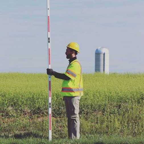
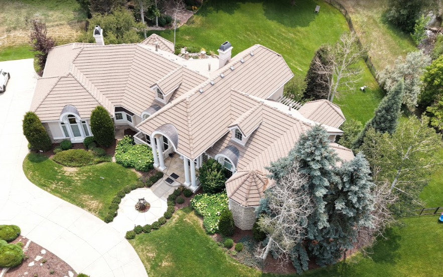
Our introductory documentation service. Ideal for clients who need professional aerial imagery today, with the flexibility to expand into mapping, 3D modeling, or thermal and LIDAR analysis as project needs evolve.
Join our Annual Documentation Program and save on recurring visits.
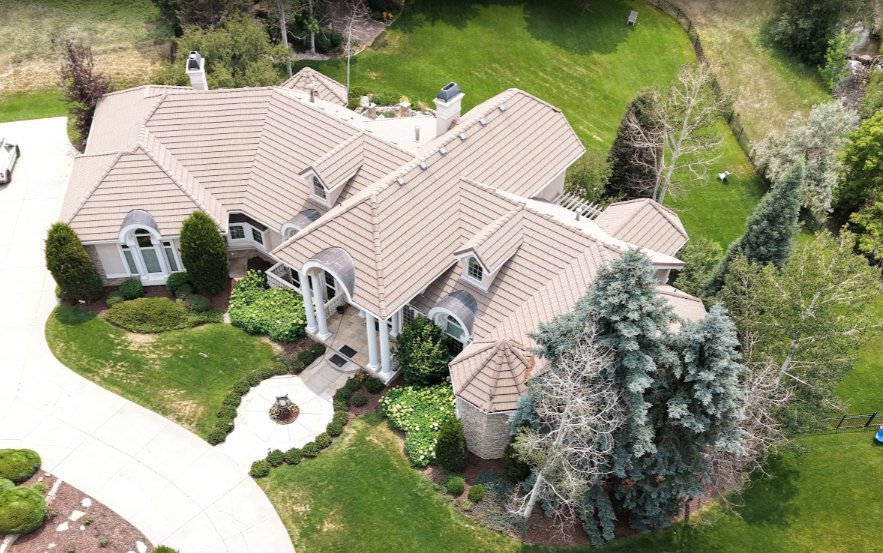
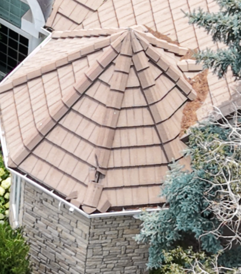
Create an accurate digital record of your property, project, or facility using professional aerial imagery. Whether you're documenting a home, construction site, commercial property, ranch, or public asset, our Site Documentation service provides a clear visual record for planning, maintenance, insurance, marketing, and future comparison.
Ideal For
Residential Properties
Commercial Properties
Construction Progress
Insurance Documentation
Property Managers
Farms & Ranches
Homeowners Associations (HOAs)
Marketing & Real Estate
Typical Deliverables
FAA-compliant aerial imagery
Professionally edited aerial photographs
Overview and detail images
Optional annotated observations
Secure digital delivery
Optional Add-Ons
Orthomosaic Mapping
3D Models & Digital Twins
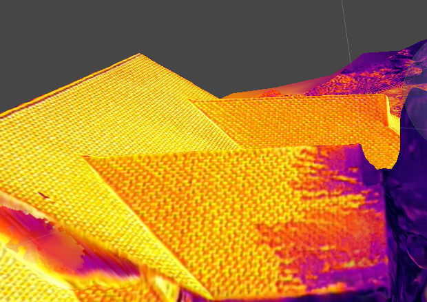
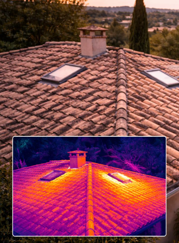
Thermal Imaging
Progress Monitoring
Measurement & Mapping Services
Annual Documentation Program
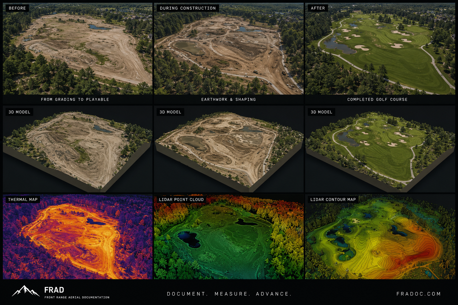
Turn aerial data into actionable intelligence.
Designed for clients who need more than maps and imagery, this service combines advanced sensors, specialized processing, and geospatial analysis to deliver meaningful insights for planning, engineering, environmental management, infrastructure, and long-term asset documentation.
Whether you're managing critical infrastructure, monitoring environmental change, planning development, or building a digital twin, our advanced workflows provide accurate, data-rich deliverables that support informed decision-making.
Ideal For
Engineering & Survey Support
Municipal Agencies
Construction & Development
Utilities & Infrastructure
Environmental & Ecological Monitoring
Forestry & Natural Resources
Mining & Aggregate Operations
Agriculture
Large Commercial Properties
Research & Academic Institutions
What's Included
Advanced mission planning
High-resolution orthomosaic mapping
Interactive 3D models and digital twins
Point cloud generation
Volumetric calculations
Change detection analysis
Secure web-based model viewing
Professional digital data delivery
Available Technologies
Projects may incorporate one or more of the following technologies based on your objectives:
Thermal Imaging
LiDAR Data Collection
RGB Photogrammetry
RTK/PPK Positioning
Multispectral Imaging
Advanced Terrain Modeling
GIS Integration
Deliverables
Depending on project requirements, deliverables may include:
Interactive Digital Twins
Orthomosaic Maps
Point Clouds
Terrain Models
Elevation Products
Volume Reports
Inspection Reports
Change Detection Maps
Hosted Web Models
CAD & GIS-Compatible Data
Common Applications
Engineering & Design Support
Infrastructure Asset Management
Environmental Monitoring
Habitat & Vegetation Analysis
Disaster Assessment
Construction Progress Monitoring
Utility Corridor Documentation
Archaeological Documentation
Historical Preservation
Research Projects
Custom Mission Planning
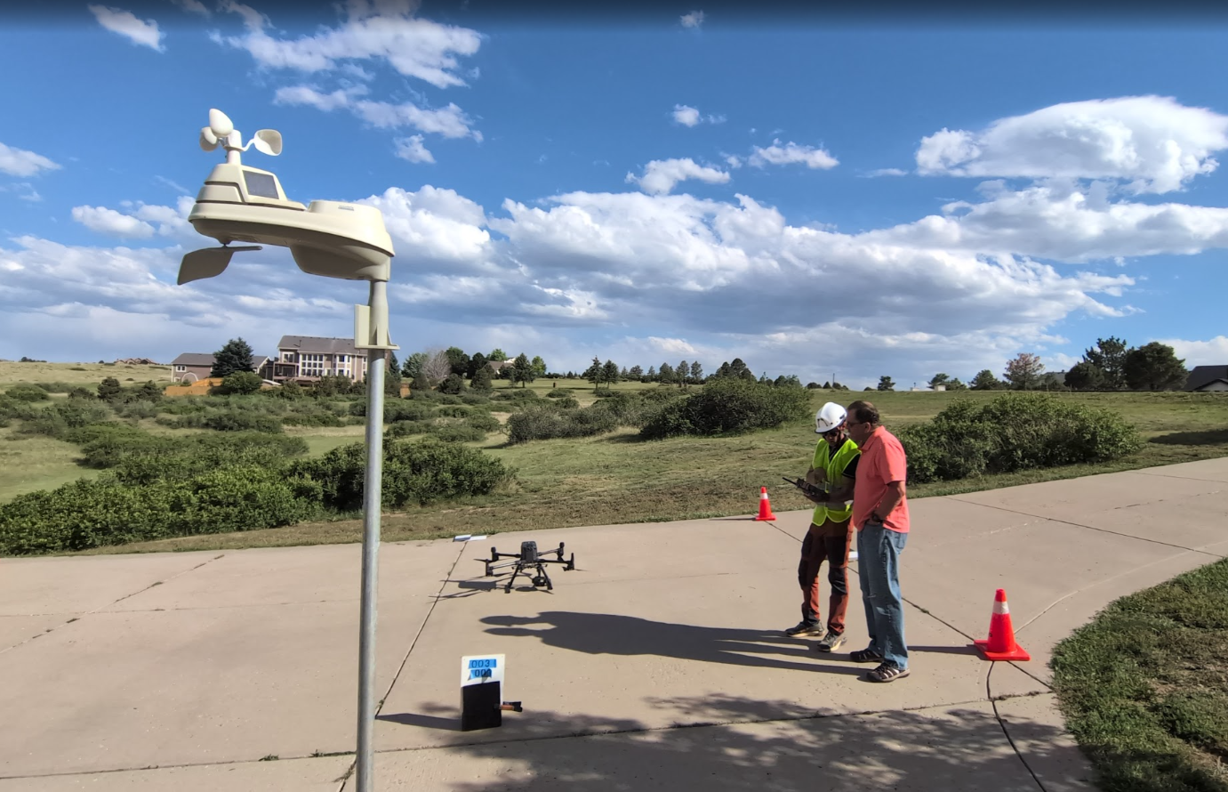
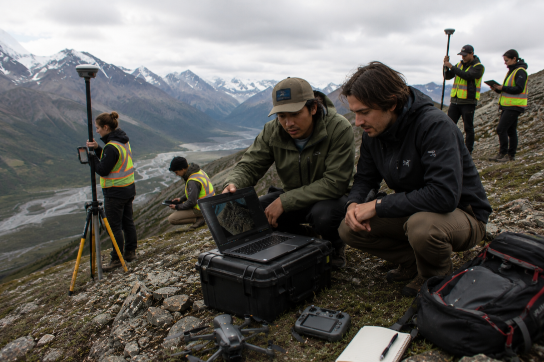
Every project begins with a consultation to understand your objectives, site conditions, and desired deliverables. We tailor each mission to collect the right data using the appropriate sensors and processing workflows—ensuring you receive meaningful results rather than unnecessary complexity.
Reserve a Consultation
Select a convenient time to discuss organizational priorities and receive an initial assessment.
Modern Technology.
Traditional Integrity.
We help clients document, understand,
and manage their properties with
accurate aerial imagery, mapping, and
Actionable visual data.