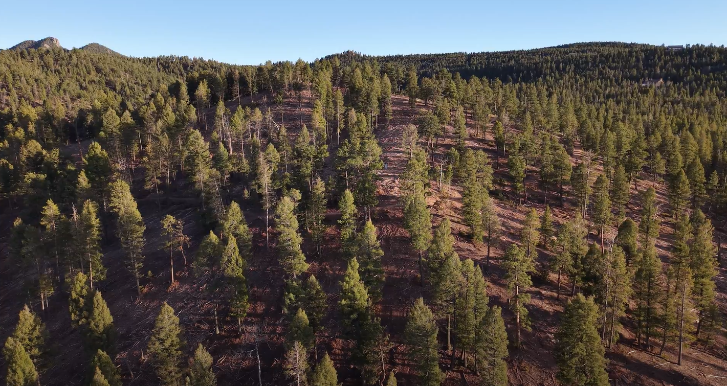
Document it once. Or better yet, watch it change.
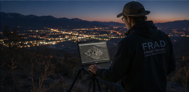
From a quick set of eyes in the sky to long-term project documentation, we capture, map, model, and preserve the places that matter.
Consultations $250+ · Aerial Documentation $795+ · Project Support $1,395+
Our greatest value comes from repeat flights. Scheduled capture builds a consistent, comparative record over time—with preferred pricing for ongoing projects and an organized dataset preserved for future analysis as technology evolves.
LET'S BUILD A PLAN THAT FITS YOU!
Aerial Documentation
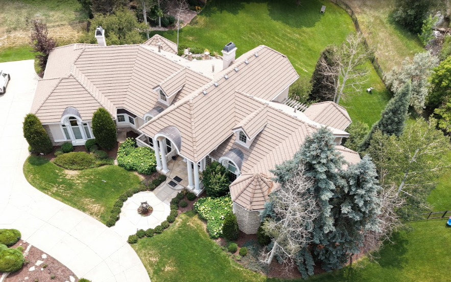
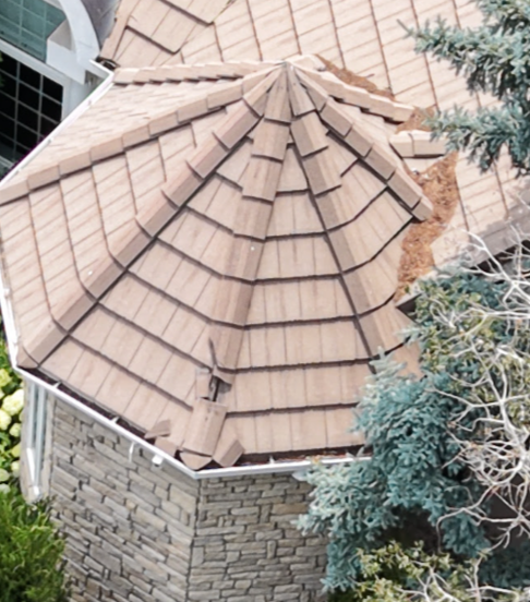
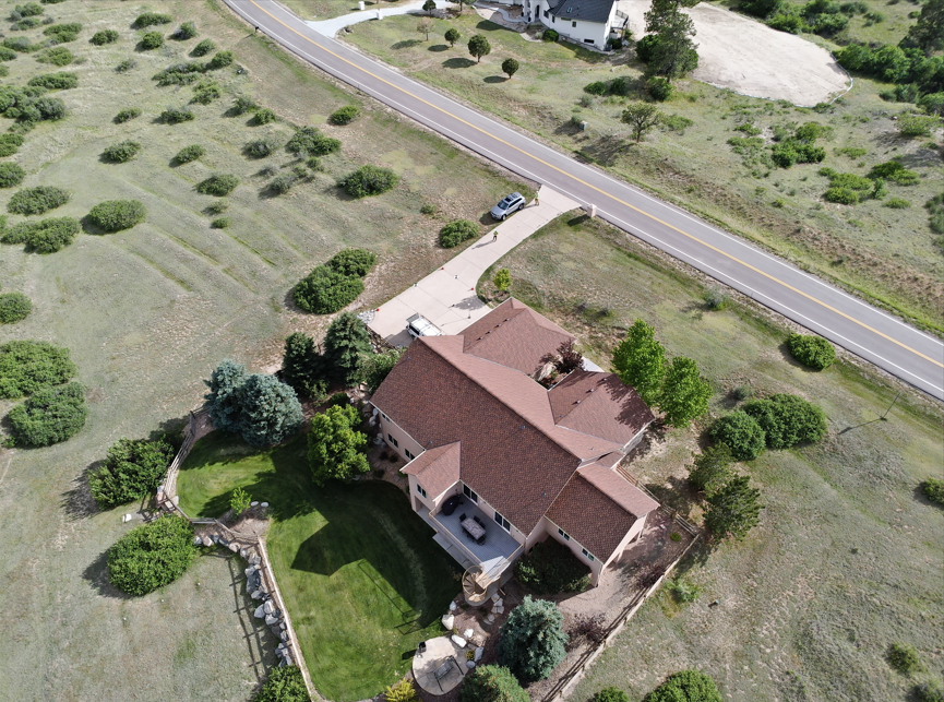
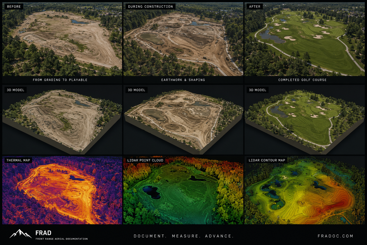
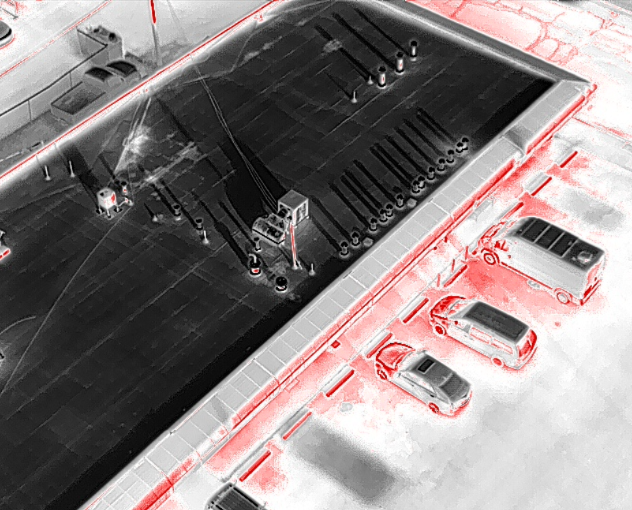
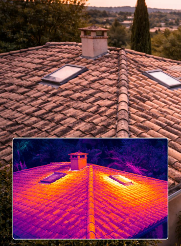
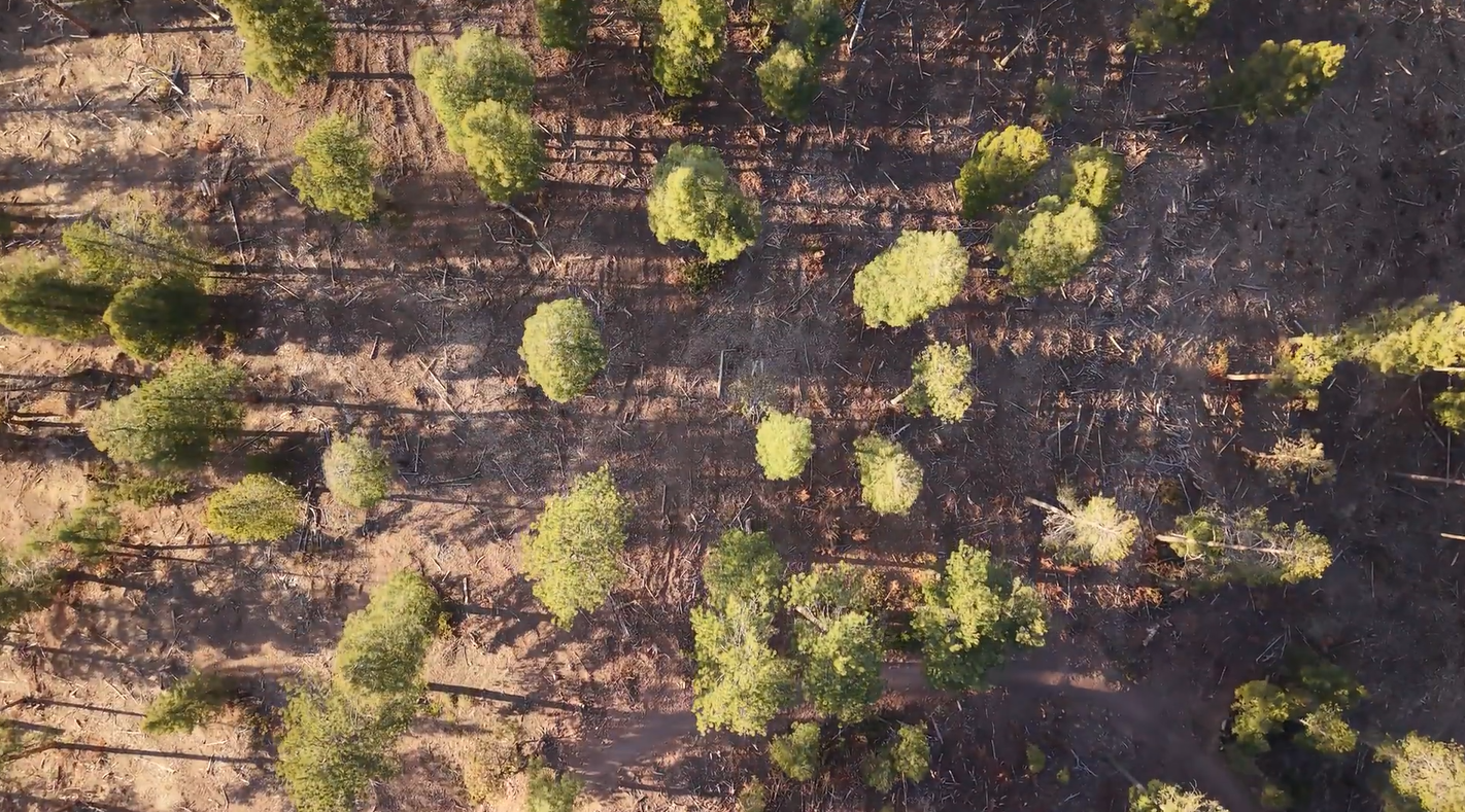
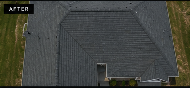
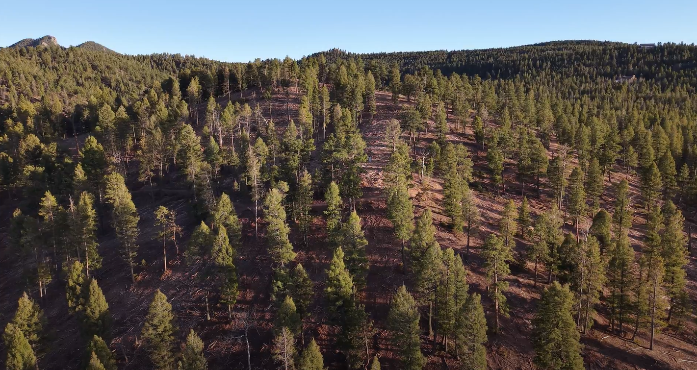
High-resolution aerial imagery providing a clear visual record of your property, project, structure, or site.
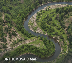
Orthomosaic Mapping
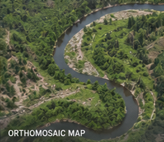
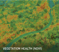
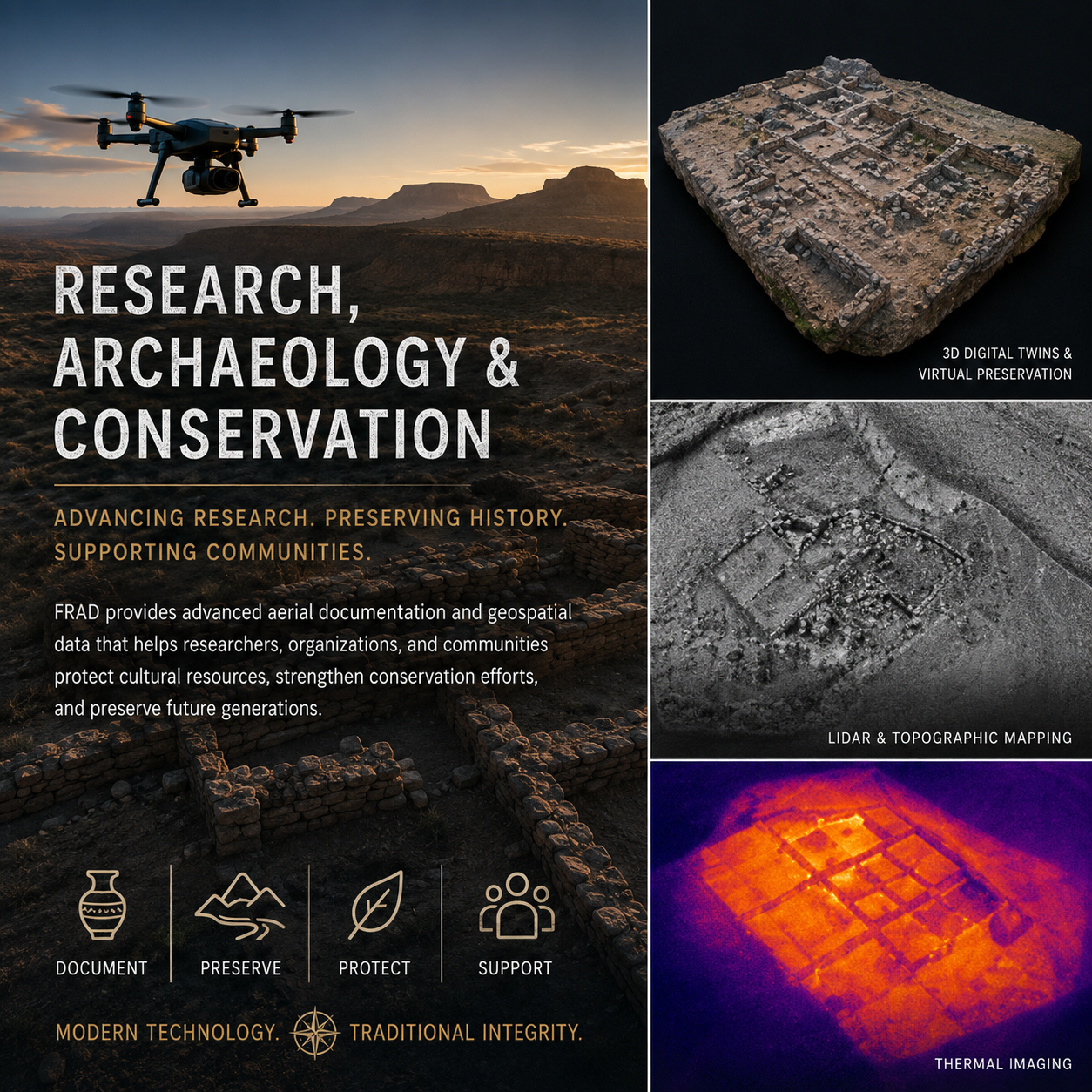
Detailed overhead imagery assembled from overlapping photographs to provide a comprehensive view of a site.
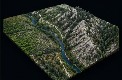
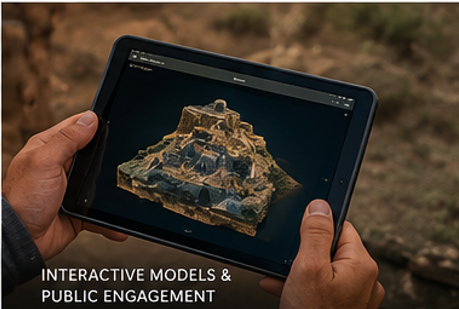
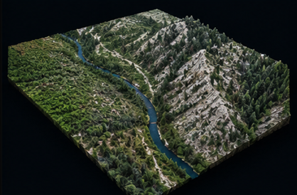
3D Models
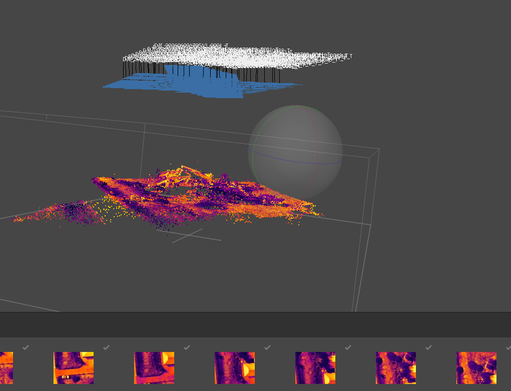
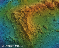
Photogrammetric models that let you preserve, explore, and share a site or structure in three dimensions.
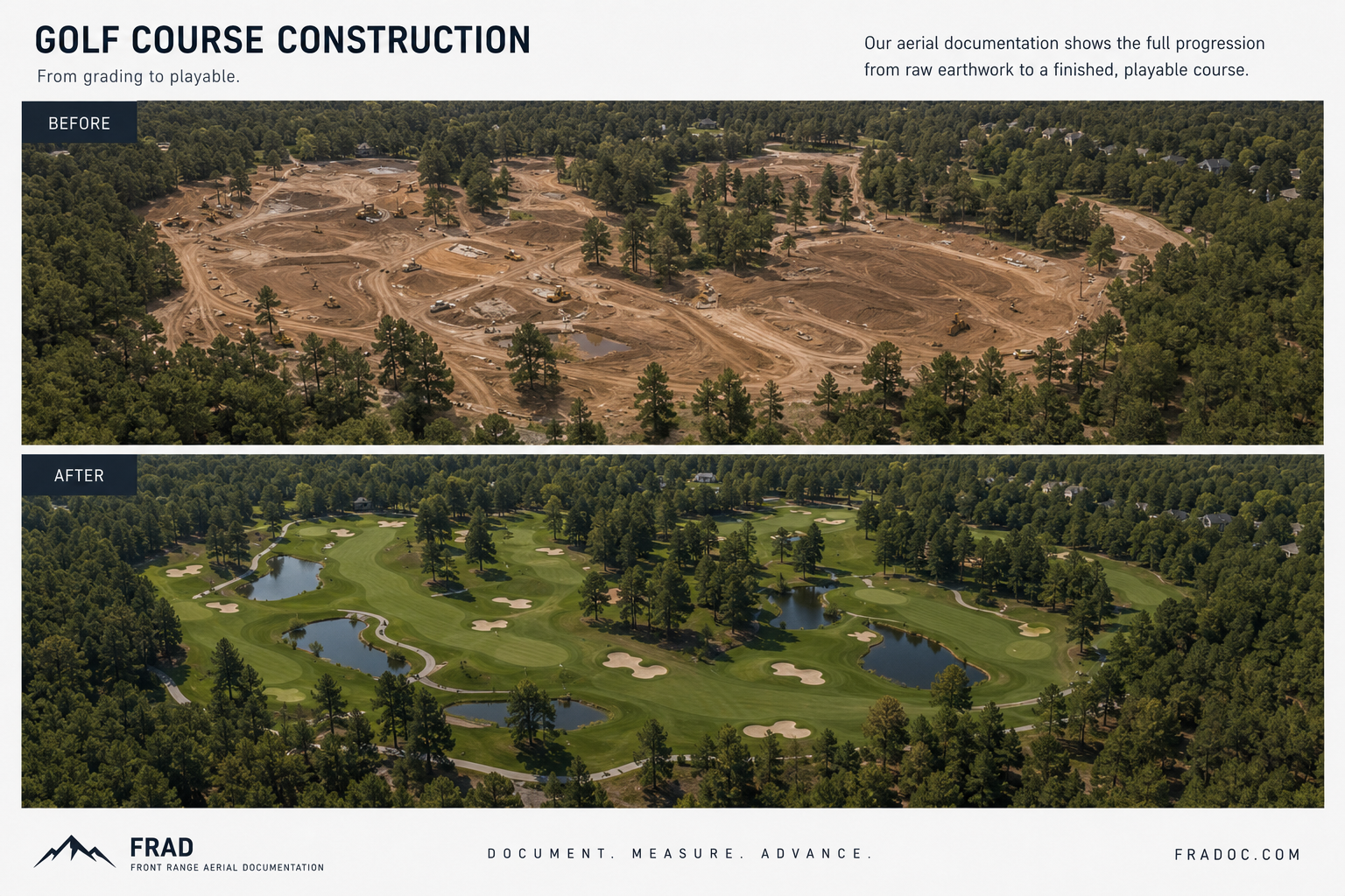
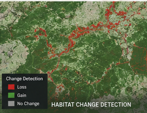
Progress & Change
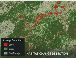
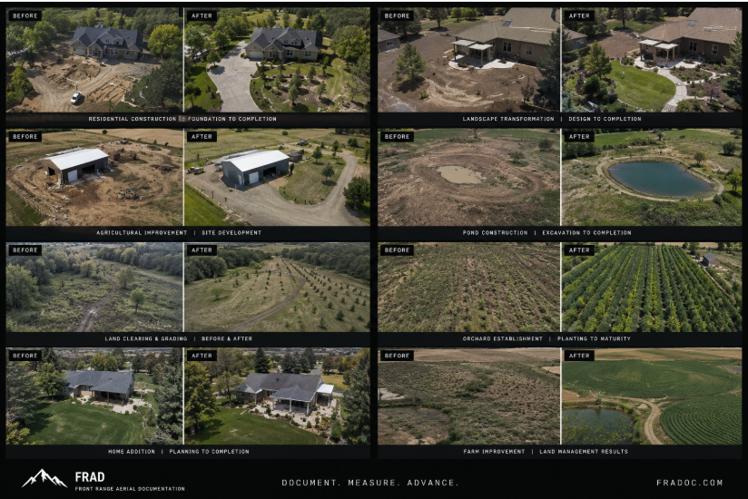
Repeatable capture designed to document construction, maintenance, landscape, property, and site conditions over time.
Hosted Deliverables
Maps, models, imagery, and project records organized for easy access and sharing—from the office or in the field.
These are a deliberate tightening of the deliverables already represented on the existing site, which includes orthomosaics, interactive 3D models, change detection, hosted web models, and recurring documentation.
The Value of Coming Back
One flight is useful. A history is powerful.
A single flight tells you what's there today.
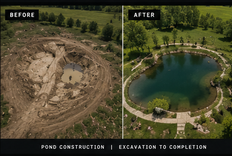
Repeat flights create something more valuable: a consistent record of what changed, when it changed, and what existed before.
Scheduled documentation also creates a growing digital archive that can be revisited with today's tools—and preserved for analysis with tomorrow's.
Preferred pricing is available for recurring projects and scheduled repeat flights.
DISCUSS A RECURRING PROJECT